Monday, October 21, 2013

Reunion Island


Reunion Island is a French island located in the Indian Ocean, east of Madagascar, about 200 kilometers south west of Mauritius. It has an active volcano on its south coast, 27 kilometers of warm, welcoming beaches in the west, and lots of mountains and forests in between.


It was about a days sail from Mauritius, 132 nautical miles to be exact. We set off from Port Louis on a Sunday afternoon of 20th October 2013. We arrived the next day in Reunion a little after dark, so we anchored in St Denis (S 20.58.413 E 55.16.859) in 9m of water for the night.

On 22nd October, we moved 4 nautical miles and moored at the Fisherman's Wharf (S 20.56.344 E 55.17.005) in Le Port Reunion, where we stayed for the next 9 days. 


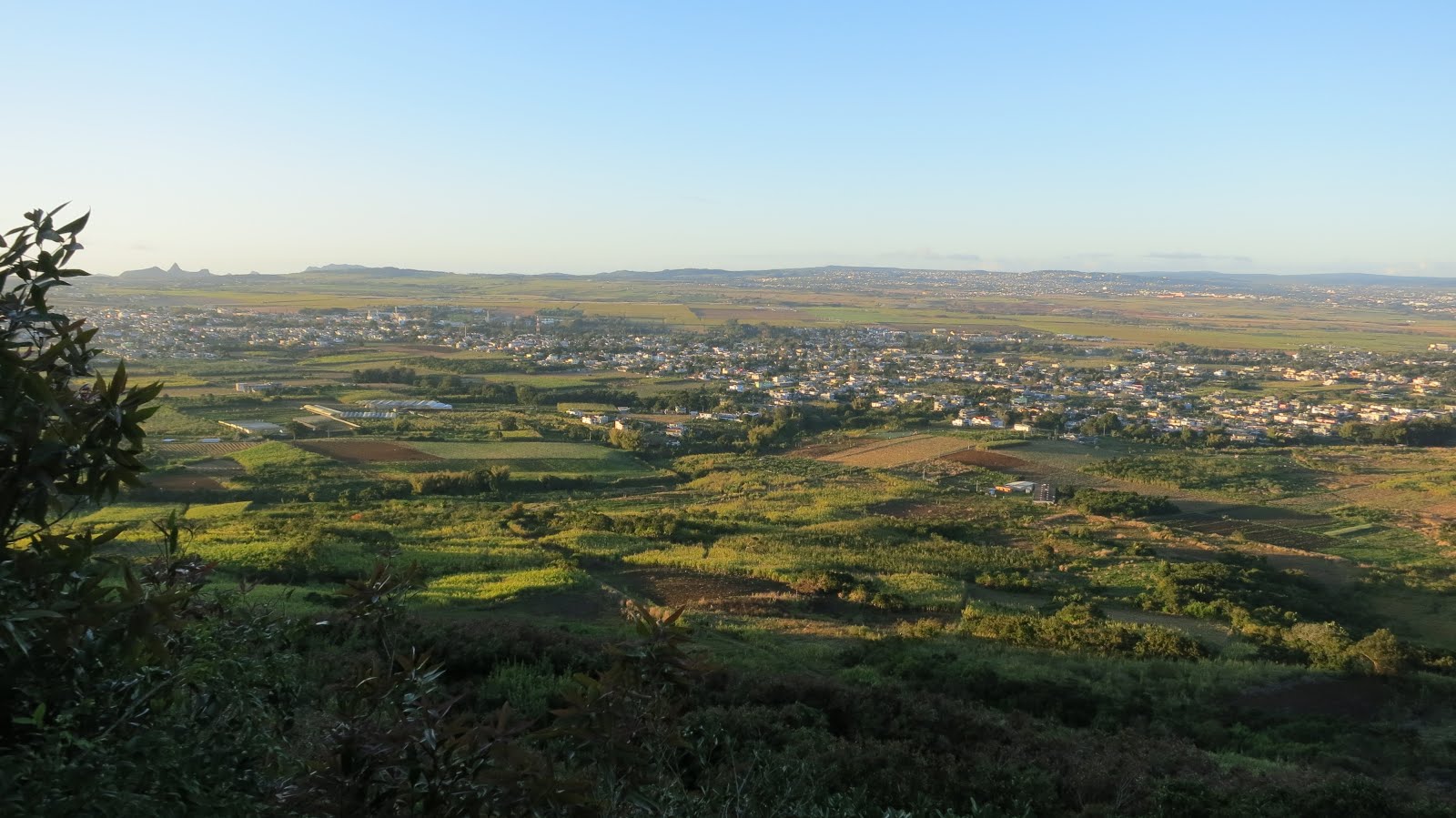
Reunion Island is really pretty. We took our bikes out and cycled around the area.

Out and about with our bikes
Time for a Kit Kat break
One of the best Strawberry Tarts I've had ;9
We hired a car to explore other parts of Reunion Island. There's really quite a lot of things to do! Just look at all the possibilities!

Things to do in Reunion
Houses at Hell Bourg
Hell-Bourg is a small village in the Salazie commune
It is located 1344 m (4412 ft) above sea level
Fluers Jaunes

Piton De La Fournaise is Reunions most famous natural attraction which erupted in 2007 & 2010. It took us 6 hours in total to hike from Pas de Bellecombe (2311m) to the Dolomieu Crater rim (2632m) and back. 

Misty

Windy roads up ahead
Our tiny rental car - All smiles and ready to hike!
Hikers all in a row..
Shiny like diamonds
Climbing up hill
More uphill


We made it to the Dolomieu Crater!
Huge crater at 900m wide by 300m deep.
Definitely enjoyed our stay here. Provisioning was very expensive because everything is in EURO. The markets were a far cry from what we were used to in Mauritius for its variety, freshness and price! But if we had lots of EURO's, we'd definitely be back!

Read More »

Thursday, October 10, 2013

Exploring Mauritius

Mount Le Pouce is the 3rd highest mountain in Mauritius, at 814 meters (2664 ft) high. Le Pouce means 'The Thumb' in English.

We woke up at 5:30am in the morning for the hike! It was fairly easy {in hindsight of course!}. The track was mostly rocky and sandy, sometimes slippery and steep! But the view at the top was spectacular! 

The weather was perfect with clear blue skies, sun shining ever so brightly and the wind was strong!

Looking at Curepipe
Pieter Both
Mt Pieter Both, the 2nd highest mountain in Mauritius @ 820m. It has a unique rock formation at the top shaped like a head. For some reason, it reminds me of Queen Nefertiti!
South of Mauritius at the far end
Looking out to Grand Bay (North of Mauritius) with Bill our new Aussie friend (and guide) who was very kind to bring us up here
A lot of sugar cane plantations across the land
Port Louis
View of the capital - Port Louis
Le Pouce
The shadow of Mt Le Pouce
Going back down
Mountainous view

View of Mount Le Pouce from afar..
Curepipe
View from Trou Aux Cerfs, Curepipe
Trou aux Cerfs
Trou aux Cerfs - a dormant volcano with a well-defined cone and crater.
As known as Murr's volcano - dormant but could become active at any time within the next thousand years...
Safety Hazard
Le Pouce
Unfortunately, can't remember the name of this place..
Some selfies

Back at Le Caudan Marina
Read More »

Tuesday, October 1, 2013

Boat Works in Mauritius

There's never a time when there's no work or repairs to do on the boat. So, here's what we did in Mauritius..

Removed the old paint and re-painted the queen sized cabin on the port side with Zinsser Perma-White Mold & Mildrew proof paint, we purchased from Singapore in March this year.


Anti-Mold Paint
Re-varnished the front door and applied epoxy on the door frame.


Hand-sew new covers for the sofa cushions in the saloon and a bag for our table fan.

Ta-dah!

Kinda proud of myself :)..

Read More »